An Unexpected Discovery
As we shop in Tesco or eat at Café R, some of us
will know we are at the site of the former
railway station. At Tesco you will be to the east
of the main track but at Café R you will be on
the track itself where the “The Welsh Chieftain”
and “The Festival Land Cruise” and innumerable
rural passenger and goods trains ran. An
increasing few of us will remember train
journeys and school trips and far fewer of us
belong to families who worked at the station.
None of us have any recollection of what was
there before the railway and only now has its
surprising distant past come to light.
A new book on the history of the mediæval
church of St Peter in Ruthin sheds new light on
the shape of Ruthin. The church was a college of
prists which was dissolved by Henry VIII in the
sixteenth century. The church survived to
become the parish church and the ancillary
buildings became alms houses and Ruthin’s new
school. The college’s lands and assets were sold
and in the documents recording the sales is a
description of the site of mediæval St Peter’s.
These late Tudor documents probably record
what I had been there for a long time.
The church owned land running from Prior
Street eastward down the hill towards Tesco and
then along the former railway line towards Well
Street. The slope running down the hill along
what is now School Road was called the prior’s
orchard, a pleasant place no doubt for the
priests to relax and a source of fruit for the
college’s tables and ciders.
At the bottom of the orchards lay the prior’s
fishpond. This lay in the natural saucer formed
by the slopes where today Wernfechan, Market
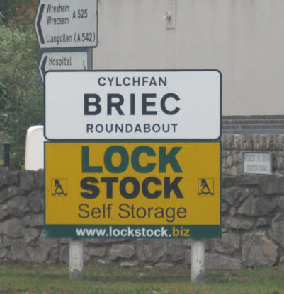
Street, School Road and Park Road join the Briec
roundabout. The orchard and fishpond covered
around three acres of land—an appreciable
urban area. Close inspection of the remaining
natural land formation and early maps suggests
the fishpond was at its deepest in the lee of the
allotments just behind Tesco and the fishpond
may have extended from the area of today’s
surgery northwards almost as far as the main
access road into the industrial estate. The
fishpond was fed by the Fullbrook, which
started from the lord's pond south of Dog Lane
and crossed Well Street running alongside the
present Station Road and from water flowing
down the sides of the slopes as well as from the
arterial springs in the vicinity.
The college would have needed large quantities
of fish to meet the religious dietary regulations
of the middle ages and the fishpond may have
been established with the college in the early
fourteenth century. At that time there were
large numbers of labourers in Ruthin engaged
by the lord of Ruthin to build his castle, tower
defences, the new college and of course his own
fishpond and it would have been relatively easy
to divert some labour to hollow out the natural
saucer around Tesco and the carft centre.
Equally easy given the sale of building work in
Ruthin at the time would have been the
construction of a dam and controls to provide
adequate water levels.
The fish pond may have beer there for the life of
the college—around 250 years—and from the
mid sixteenth century to the mid nineteenth
century—around 300 years—it became
meadow, probably quite a wet one, called Tal y
Llyn and all memory of a fishpond disappeared.
For a hundred years it became a railway station
and since the 1960s it has evolved to become
today’s principal retail grocery site for the town.
GARETH EVANS discovers that the Craft Centre, Tesco and much else stands on
the Mediæval Priory fishpond

Town and Around Current Edition
Town and Around Historic Contents
Contact Us
Ruthin Local Historic Society
Copyright © 2018 Ruthin & District Civic Association


